-
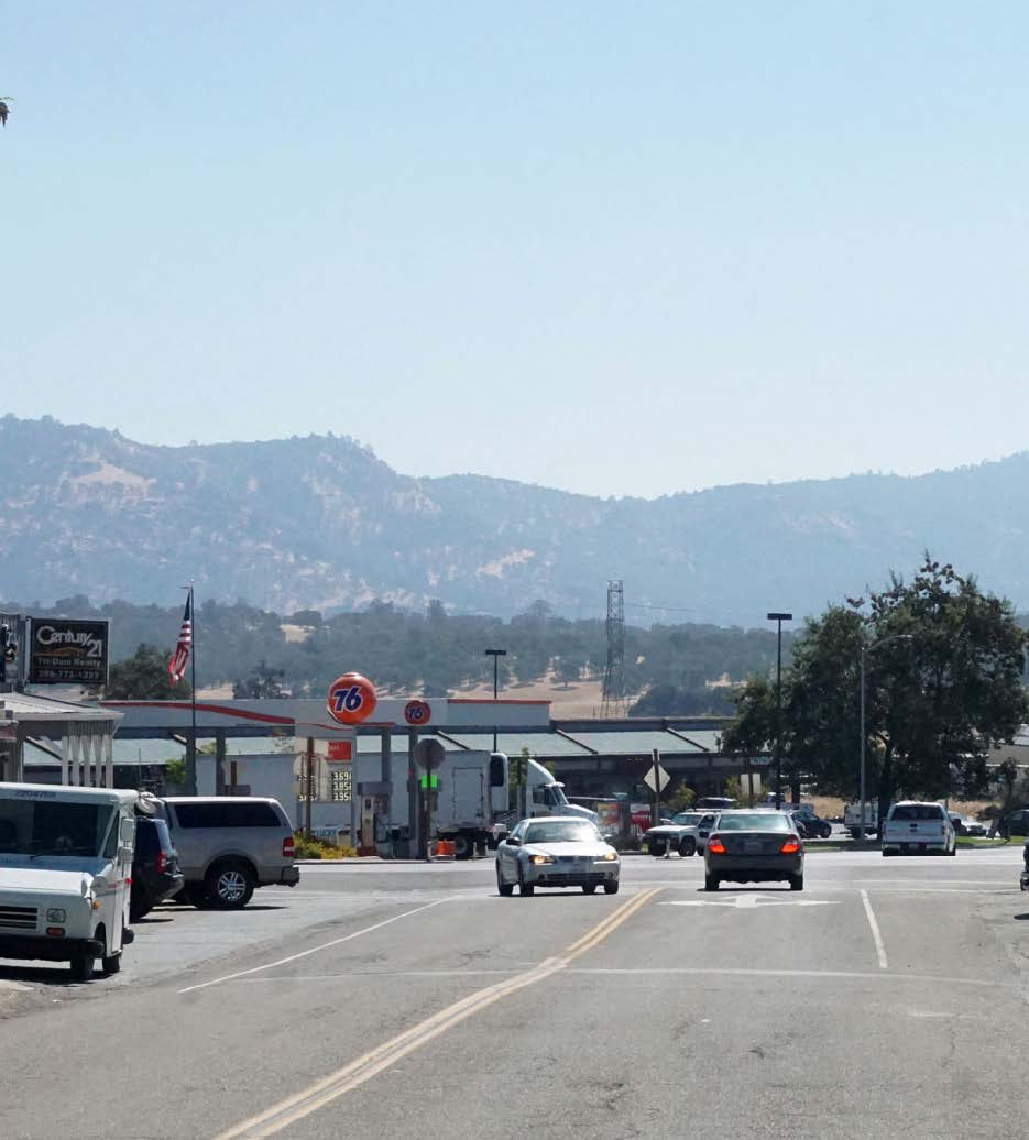
Valley Springs Town Center Connectivity Plan- 2020
Completed, PlansThe Calaveras Council of Governments (CCOG) and County of Calaveras applied for and received a State transportation planning grant for FY 2017/18, made possible through Senate Bill 1 (SB 1), to complete a Complete Streets Capital Infrastructure Plan for Valley Springs. The Plan will provide for the community level planning needed to develop conceptual complete streets transportation improvements that build upon operational investments on SR 26 and the SR 12/26 intersection, incorporates community aesthetic, and provides safe travel options for residents and students to schools and community centers. The project is a collaborative partnership of the School, Caltrans, CHP, CCOG, County, and community. The Plan will explore multi-modal improvements within the Historic Town including streets serving as School pick up and drop off locations. The project includes an assessment of existing conditions, comprehensive public participation and outreach, conceptual design alternatives, development of a Complete Streets Plan and implementation and financial plan.
-
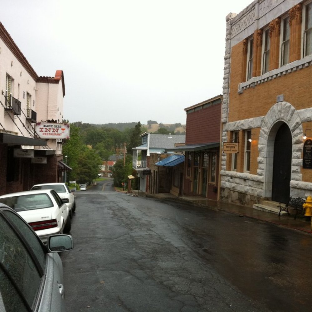
San Andreas Pope St and Safe Routes to School Gap Fill Plan- 2020
Completed, PlansThe San Andreas Pope Street and Safe Routes to School Gap Fill Plan identifies improvements to make walking and bicycling safer and more accessible in central San Andreas. The plan focuses on improving connections between residential neighborhoods, San Andreas Elementary School, the Government Center, and other community destinations through projects such as a multiuse path, improved crossings, and other pedestrian and bicycle safety improvements.
-
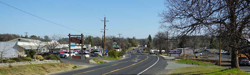
Angels Camp North Main Street/SR 49 Complete Streets Corridor Plan and Copello Road Pedestrian Connector- 2020
Completed, PlansThe Calaveras Council of Governments (CCOG) and City of Angels applied for and received a 2017/18 Sustainable Transportation Planning Grant through Caltrans made possible through Senate Bill 1. The CCOG serves as the eligible applicant, while the City will serve as project lead. The project will incorporate transit and other pedestrian safety improvements on SR 49 in the northern area of Angels Camp. The process will provide for facilitated community and stakeholder outreach and will result in conceptual designs and necessary technical data for a competitive Active Transportation Program grant application.
-
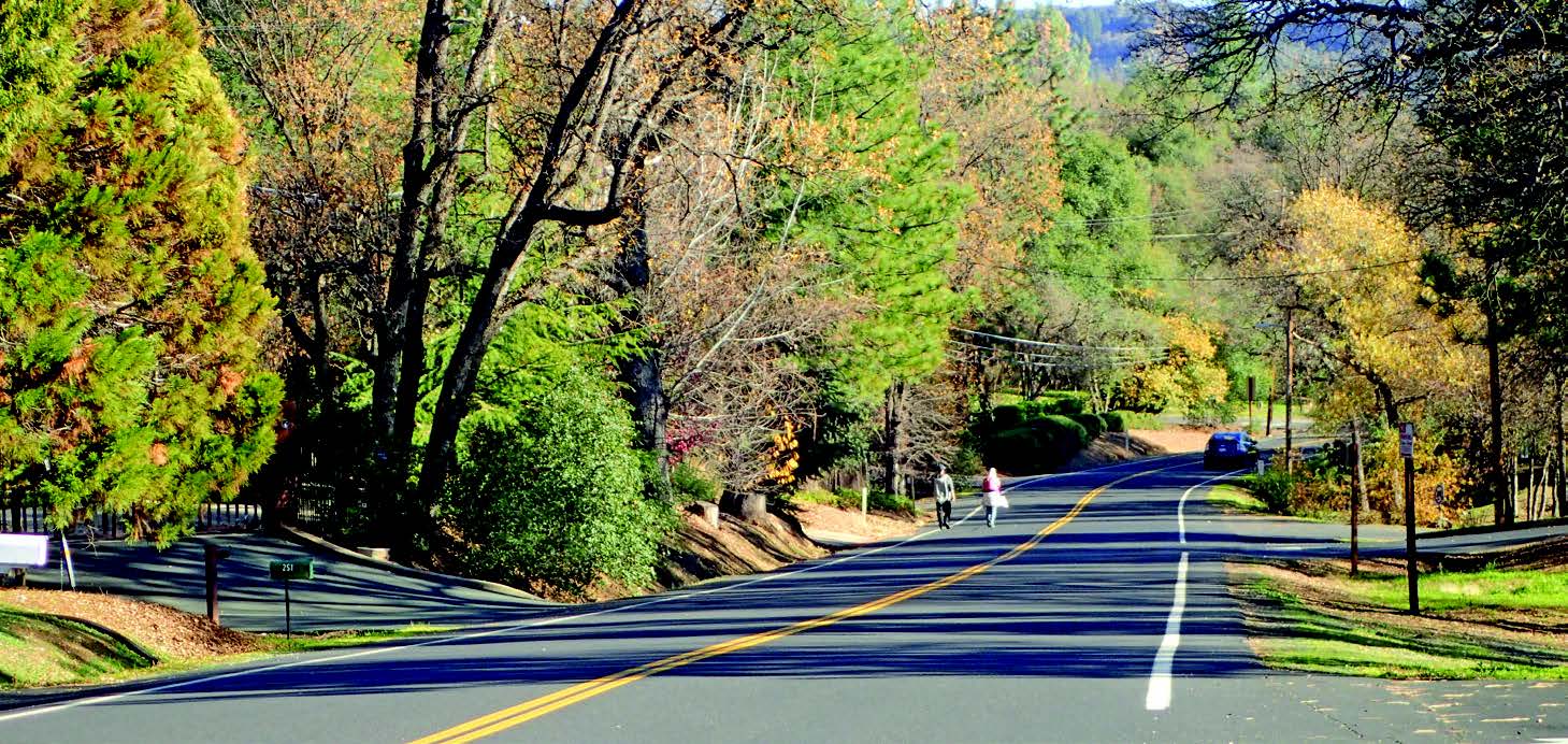
Murphys SR 4 Complete Streets Corridor Plan and Project Prioritization-2019
Completed, ProjectThe Murphys SR 4 Complete Streets Plan, completed in 2019, provides a long-term vision for improving safety, accessibility, and mobility along State Route 4 through Murphys. The plan focuses on creating safer connections for pedestrians, bicyclists, motorists, and transit users while improving access to schools, parks, businesses, and downtown Murphys.
-
San Andreas SR 49 Commercial Gateway & Corridor Study- 2015
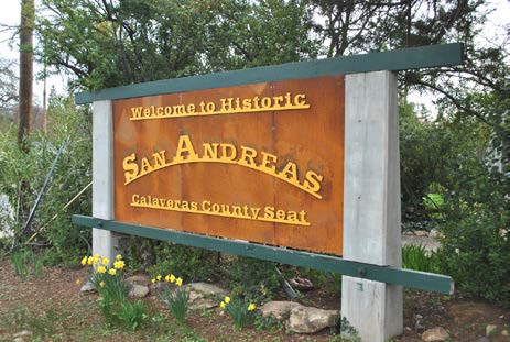
Completed, PlansThe San Andreas Gateway Corridor Study began in December of 2015 and was a partnership between the County of Calaveras, CCOG, Caltrans, and the local community. The Study focused on the southern gateway to the community and identified the transportation improvements including local road networks and multi-modal transportation alternatives necessary to accommodate the planned land uses in the study area while protecting and advancing the function, design, and economic vitality of SR 49. Through a coordinated planning process, the Study collectively plotted future transportation strategies to improve corridor safety, access, aesthetics, and mobility.
-
Angels Camp Main Street Plan- 2015
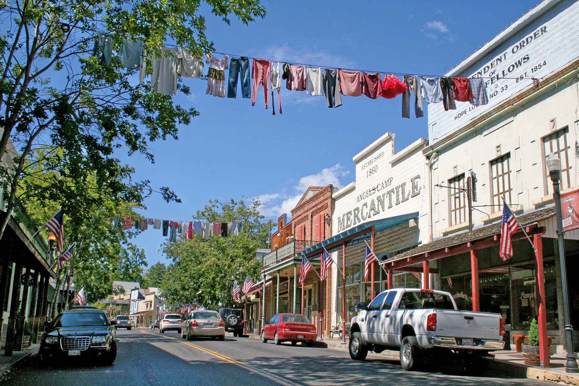
Completed, PlansThis project is a collaborative effort with The City of Angels, Calaveras Council of Governments and Caltrans to address community design, public spaces, bicycle and pedestrian facilities and parking facilities along the Main Street Angels Camp corridor. The study area extends from the intersection of Vallecito Road along the 49 Corridor to Murphys Grade Intersection. The study has focused on input from the community through the City, CCOG, stakeholders and public meetings to develop the design elements, guidelines and strategies to guide future improvements along the SR 49 Corridor. The project began in December of 2015. The project team has hosted various public outreach events and opportunities for feedback including three public workshops, two walking tours, one-on-one stakeholder meetings, online surveys and five Advisory Committee meetings. The last public workshop was in January of 2017 and was the final round of public input prior to release of a draft plan for public review and feedback. The Final Plan was adopted by the City of Angels City Council on August 1, 2017 and accepted by the CCOG Board on August 2, 2017. The City and CCOG will utilize this plan, along with the community and other stakeholders, to seek funding and identify avenues for implementation of priority improvements. The City currently has two construction projects along this corridor that will look to incorporate recommendations and concepts from this Plan, those include the SR 49 sidewalk gap fill and Murphys Grade Road sidewalks and intersection improvements.
-
UPLAN
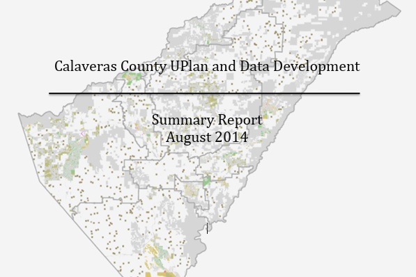
Completed, PlansUPlan, developed by the UC Davis Information Center for the Environment (ICE), is a Geographic Information System (GIS) based urban growth modeling tool used for advanced regional transportation planning. The tool is used to help regions study the interaction of regional population and economic growth and development policy by projecting future land-use patterns. UPlan allows us to illustrate how different growth alternatives would affect the region’s transportation system, air quality, housing, and natural resource production, among other issues. The output of UPlan is provided in a user-friendly map format designed to facilitate regional consensus building and enhance the decision making process. Output from UPlan is also used as input to other models such as the regional travel demand model to estimate the impact of land use alternatives on the transportation network.
-
Calaveras Transit Intercity Feasibility Study- 2014
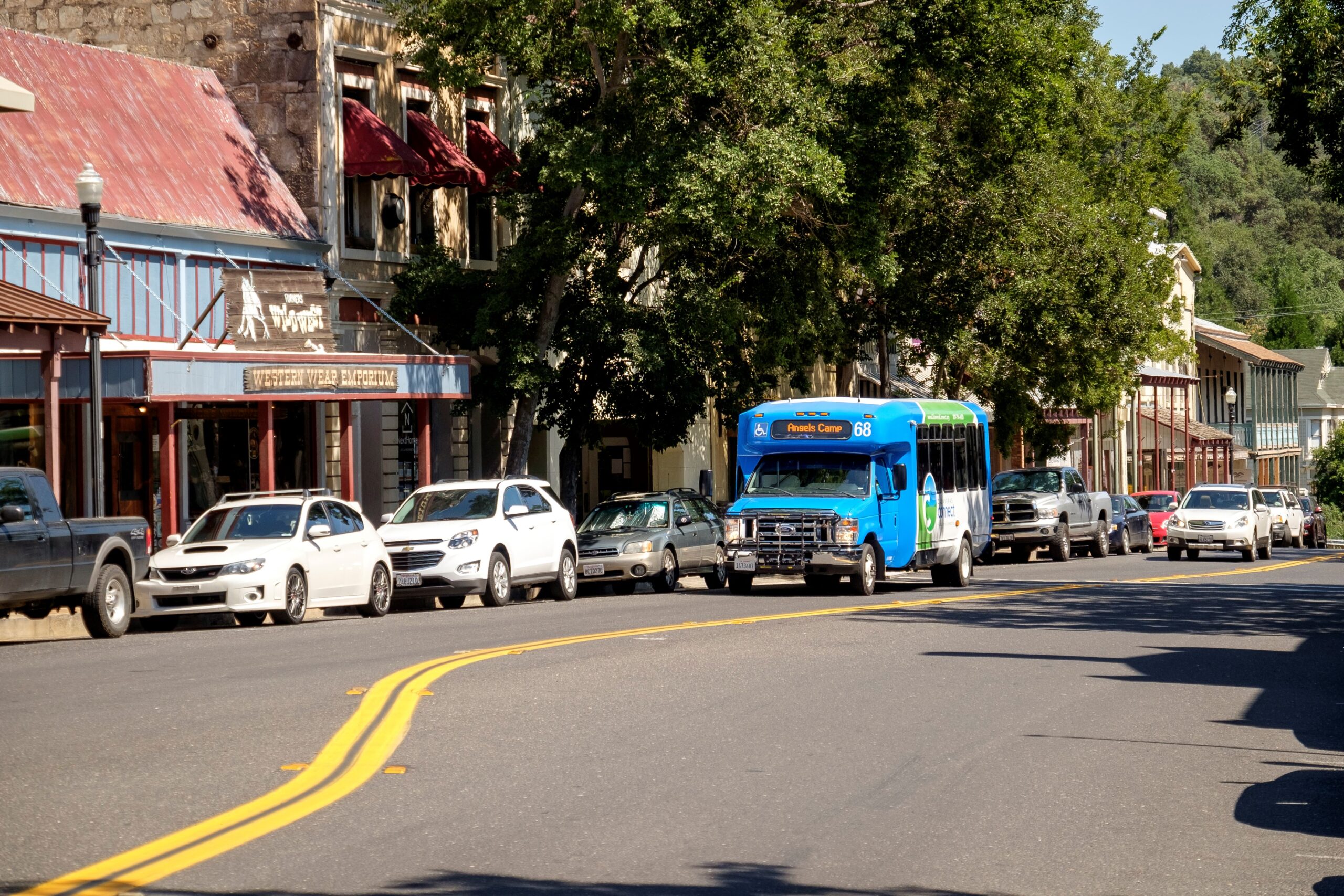
Completed, ProjectThe primary purpose of this study is to address long standing intercity transit needs for Calaveras County residents, as long as an efficient and productive service can be developed which meets TDA farebox ratio requirements. Ideally, the new route(s) would provide meaningful connections to Greyhound and Amtrak, meet out-of-county medical needs for human service agency clients, and effectively serve commuters and students.
-
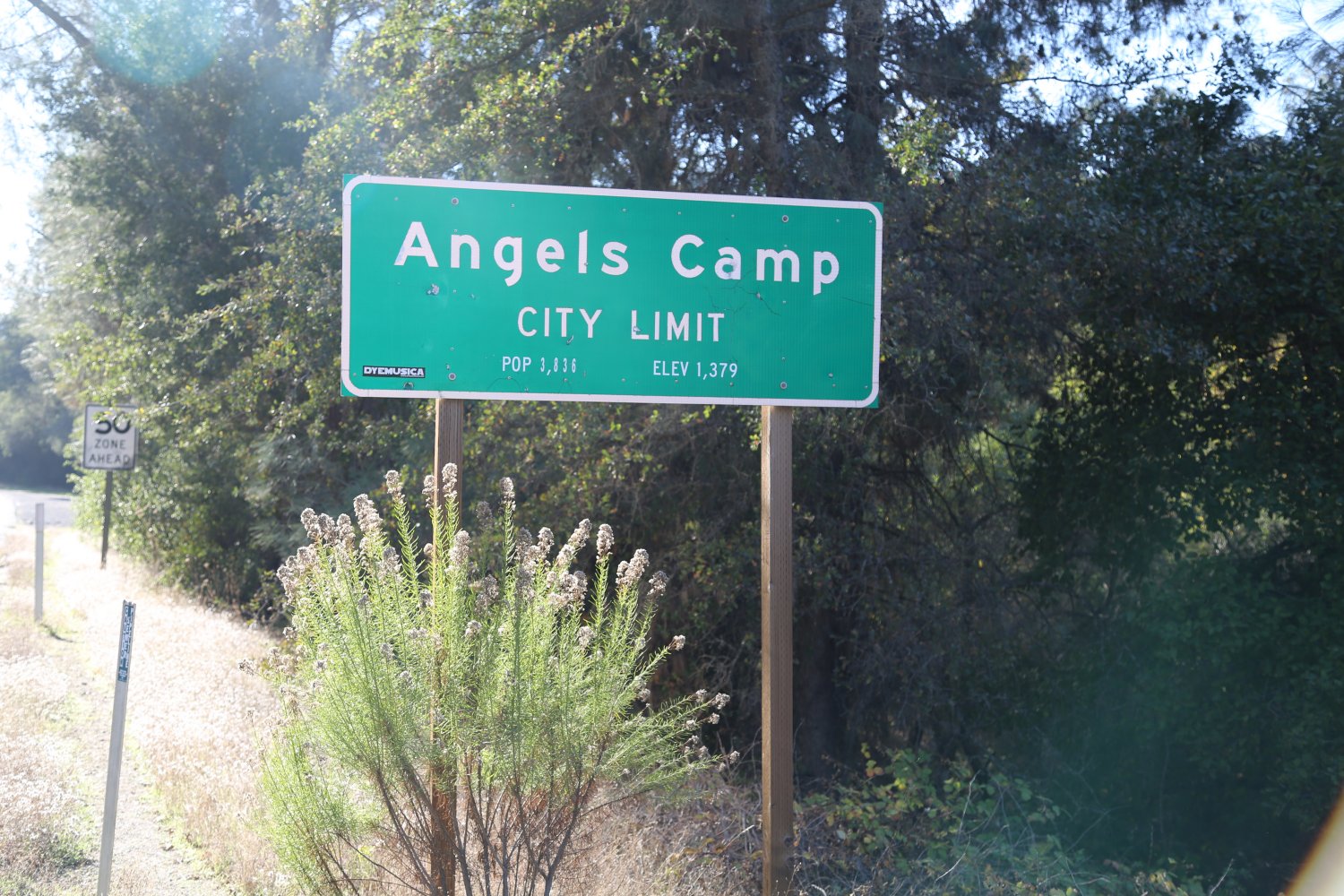
Angels Camp State Routes 4 & 49 Gateway and Corridor Study- 2014
Completed, ProjectThe Study is a collaborative planning effort that will achieve a shared vision that links transportation and land use in the City’s gateway corridor. The Study will master plan next generation land use with necessary transportation improvements along SR 4 & 49 within the City limits. The Study will “think beyond the pavement” incorporating design, function, and beauty in future transportation alternatives for the City’s Main Streets. The Study will support the vision and values of the Local Community, enhance the economic vitality of the region, while advancing the State’s goals for the Highway System including safety, access, mobility and goods movement. The final deliverables are a Corridor Study inclusive of Fee Program and Access Management Components.
-
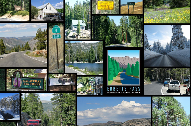
EPSB Corridor Management Plan
Completed, PlansThe Ebbetts Pass State Scenic Highway (a portion of California State Highway 4) is a 58-mile route between Arnold, California and Markleeville, California. This portion of Highway 4 was designated as a California State Scenic Highway in 1971 and a National Scenic Byway in Fall 2005. The scenic route links destinations such as Arnold, Markleeville, Bear Valley, Lake Alpine, Calaveras Big Trees State Park and Grover Hot Springs State Park in Calaveras and Alpine Counties.
-
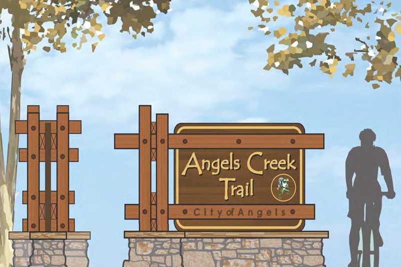
Angels Creek Master Plan and Trail- 2012
Completed, PlansThe Angels Creek Bicycle Master Plan and Trail is a result of a collective effort on the part of the community, the City of Angels, and RRM Design Group. We appreciate the opportunity to help create a plan that describes the steps to implement a well balanced and beneficial Bicycle system throughout the city.
-
San Andreas Rural Livability Mobility Plan- 2008
Completed, PlansThe project will address Transportation/Land Use opportunities for the town. San Andreas is the County seat and hosts the County Government offices, County Hospital, Calaveras High School, Department of Motor Vehicles, other agencies and non-profit organizations, in addition to community parks and historical assets. State Route 49 (known locally as, St. Charles St) divides the town and creates mobility challenges that this planning effort is intended to address through a Community Based Transportation Planning grant awarded to the CCOG. Community involvement in this effort will be a vital aspect of project success.