-
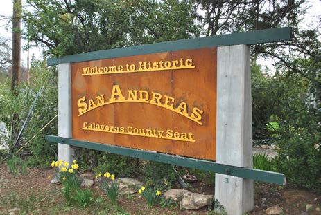
San Andreas SR 49 Commercial Gateway & Corridor Study- 2015
Completed, PlansThe San Andreas Gateway Corridor Study began in December of 2015 and was a partnership between the County of Calaveras, CCOG, Caltrans, and the local community. The Study focused on the southern gateway to the community and identified the transportation improvements including local road networks and multi-modal transportation alternatives necessary to accommodate the planned land uses in the study area while protecting and advancing the function, design, and economic vitality of SR 49. Through a coordinated planning process, the Study collectively plotted future transportation strategies to improve corridor safety, access, aesthetics, and mobility.
-

Angels Camp Main Street Plan- 2015
Completed, PlansThis project is a collaborative effort with The City of Angels, Calaveras Council of Governments and Caltrans to address community design, public spaces, bicycle and pedestrian facilities and parking facilities along the Main Street Angels Camp corridor. The study area extends from the intersection of Vallecito Road along the 49 Corridor to Murphys Grade Intersection. The study has focused on input from the community through the City, CCOG, stakeholders and public meetings to develop the design elements, guidelines and strategies to guide future improvements along the SR 49 Corridor. The project began in December of 2015. The project team has hosted various public outreach events and opportunities for feedback including three public workshops, two walking tours, one-on-one stakeholder meetings, online surveys and five Advisory Committee meetings. The last public workshop was in January of 2017 and was the final round of public input prior to release of a draft plan for public review and feedback. The Final Plan was adopted by the City of Angels City Council on August 1, 2017 and accepted by the CCOG Board on August 2, 2017. The City and CCOG will utilize this plan, along with the community and other stakeholders, to seek funding and identify avenues for implementation of priority improvements. The City currently has two construction projects along this corridor that will look to incorporate recommendations and concepts from this Plan, those include the SR 49 sidewalk gap fill and Murphys Grade Road sidewalks and intersection improvements.
-
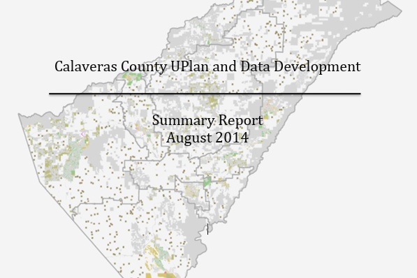
UPLAN
Completed, PlansUPlan, developed by the UC Davis Information Center for the Environment (ICE), is a Geographic Information System (GIS) based urban growth modeling tool used for advanced regional transportation planning. The tool is used to help regions study the interaction of regional population and economic growth and development policy by projecting future land-use patterns. UPlan allows us to illustrate how different growth alternatives would affect the region’s transportation system, air quality, housing, and natural resource production, among other issues. The output of UPlan is provided in a user-friendly map format designed to facilitate regional consensus building and enhance the decision making process. Output from UPlan is also used as input to other models such as the regional travel demand model to estimate the impact of land use alternatives on the transportation network.
-

EPSB Corridor Management Plan
Completed, PlansThe Ebbetts Pass State Scenic Highway (a portion of California State Highway 4) is a 58-mile route between Arnold, California and Markleeville, California. This portion of Highway 4 was designated as a California State Scenic Highway in 1971 and a National Scenic Byway in Fall 2005. The scenic route links destinations such as Arnold, Markleeville, Bear Valley, Lake Alpine, Calaveras Big Trees State Park and Grover Hot Springs State Park in Calaveras and Alpine Counties.
-
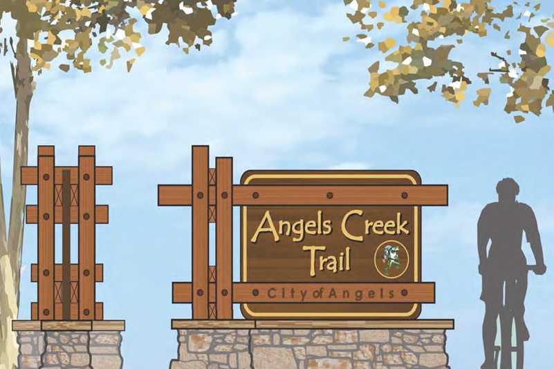
Angels Creek Master Plan and Trail- 2012
Completed, PlansThe Angels Creek Bicycle Master Plan and Trail is a result of a collective effort on the part of the community, the City of Angels, and RRM Design Group. We appreciate the opportunity to help create a plan that describes the steps to implement a well balanced and beneficial Bicycle system throughout the city.
-
San Andreas Rural Livability Mobility Plan- 2008
Completed, PlansThe project will address Transportation/Land Use opportunities for the town. San Andreas is the County seat and hosts the County Government offices, County Hospital, Calaveras High School, Department of Motor Vehicles, other agencies and non-profit organizations, in addition to community parks and historical assets. State Route 49 (known locally as, St. Charles St) divides the town and creates mobility challenges that this planning effort is intended to address through a Community Based Transportation Planning grant awarded to the CCOG. Community involvement in this effort will be a vital aspect of project success.
-
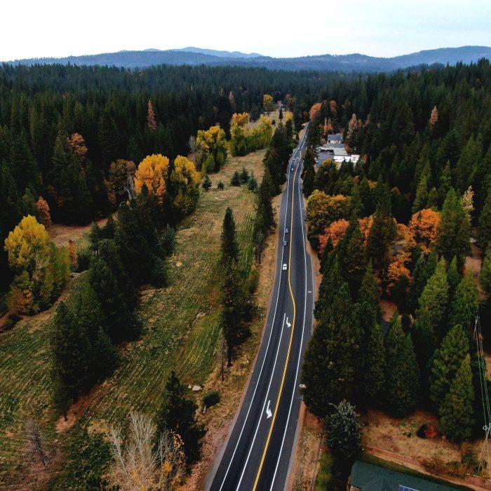
Arnold Rural Livable Community-Based Mobility Plan- 2007
Completed, PlansThis effort focusing on the community of Arnold is a Community Based Transportation Planning Grant awarded to CCOG in the amount of $80,000 to address mobility issues in Arnold. Mobility includes residents and guests ability to walk, bike, access transit and drive through the Highway 4 corridor. Stantec Consulting Inc has been hired to assist the CCOG and the community of Arnold highlight, understand and plan for improvements in their community. This is a planning effort only, and is scoped to take approximately one (1) year to complete. A public steering committee has been put together to guide the project and assist with public outreach.